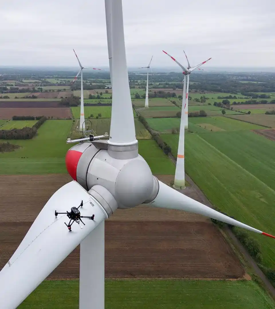
Infrastructure and Asset Inspection
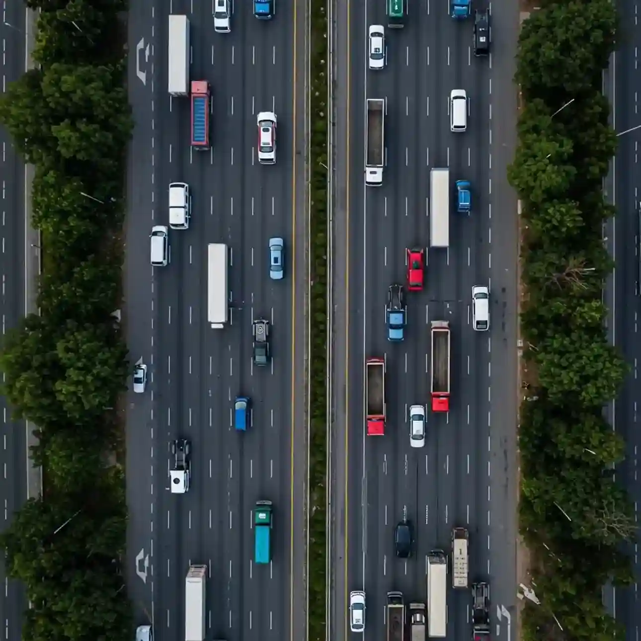
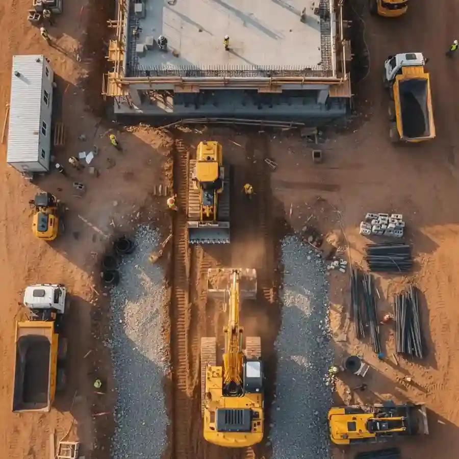
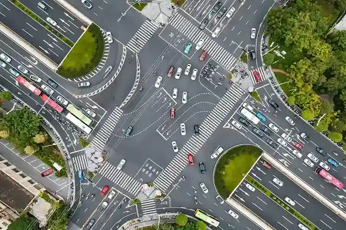
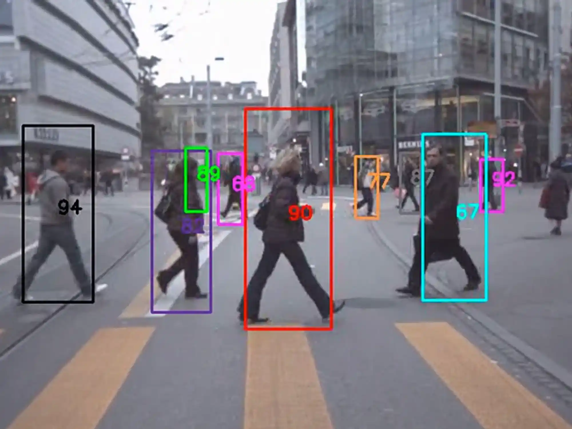
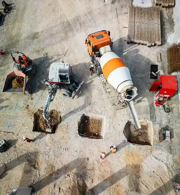
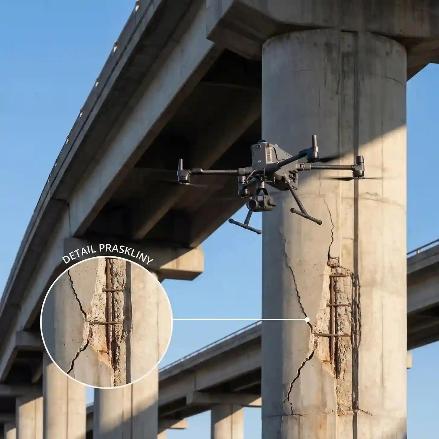
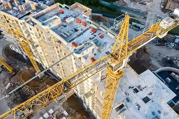
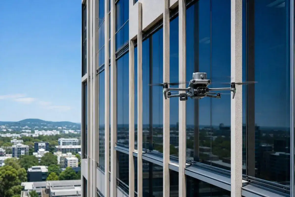
Small, dense, and partially hidden objects reduce detection accuracy. Our annotators apply bounding boxes, polygons, and segmentation masks to aerial frames against your class guidelines.
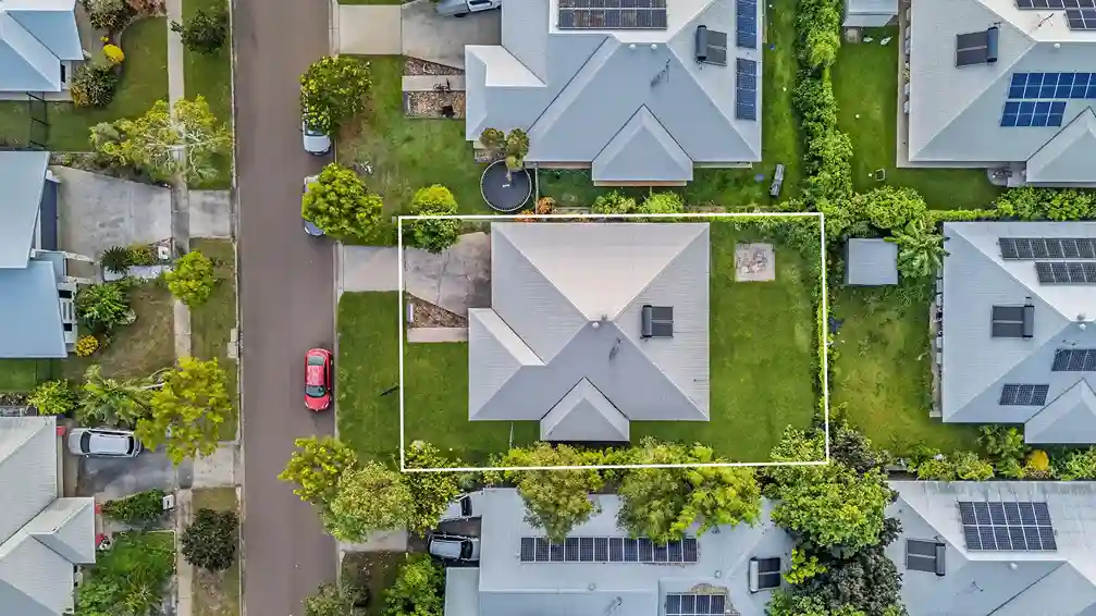
Collect. Annotate. Validate. Build Better AI
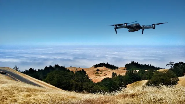
Aerial models fail on small objects, shifting altitude, and inconsistent labels. We annotate drone imagery, video, and sensor data through a multi-stage QA process, so your AI model trains on labels it can trust.
The accuracy of your labels is the accuracy of your AI model, and our process is built around that.
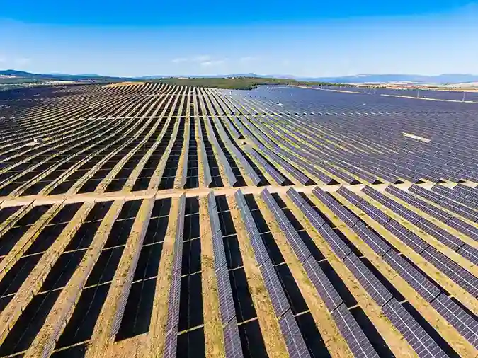
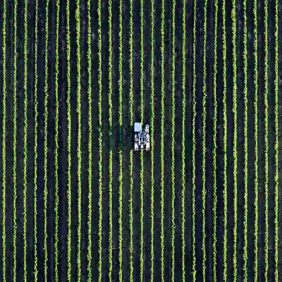
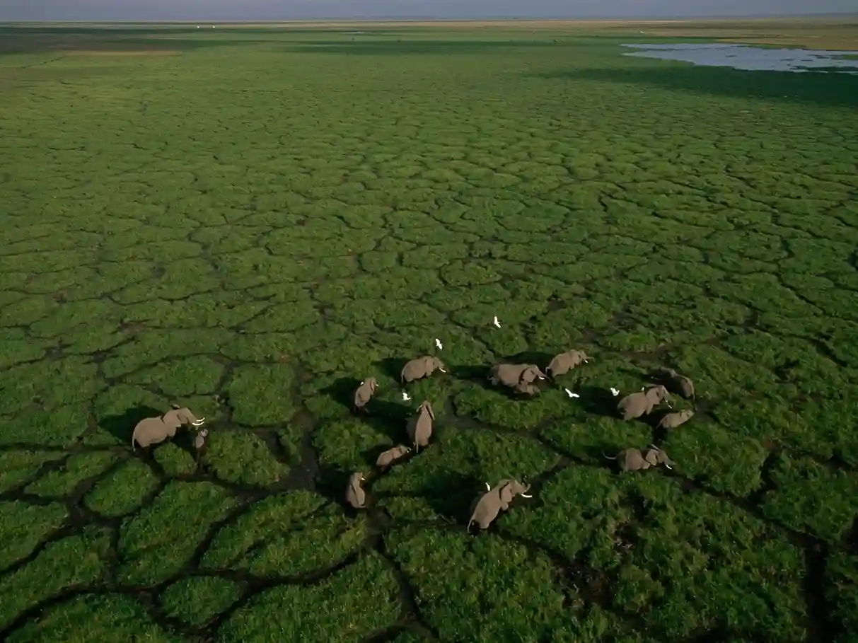
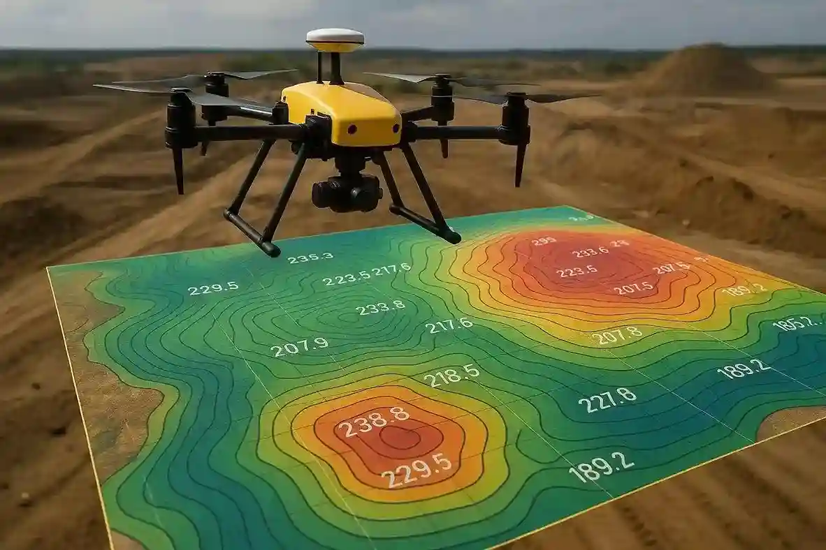
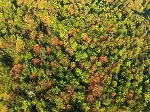
Aerial and drone imagery breaks the assumptions that ground-level datasets allow. Vehicles, panels, and people appear as a few dozen pixels. Scale changes with every altitude. Shadows, haze, and seasonal change alter how the same object looks across flights. In video, one missed frame breaks an object track.
Labeling errors in this data become detection errors in your model. Those errors then show up as missed defects, false alerts, and retraining cycles that delay deployment.
Qualitas Global treats aerial annotation as a data operations problem. Annotators are trained on your class definitions before production begins. Every batch passes through internal and external quality checks. Errors are logged and corrected at the source.
Explore our data collection services.
Domain-trained expert annotators and daily throughput tracking against SLA targets.
A rigorous multi-level quality assurance process that ensures a 97%+ quality benchmark, validated on every project.
A risk-free 2-day pilot before full production, and team deployment within 24 business hours of sign-off. You see our work before you commit to volume.
Every engagement is tailored to your goals, with annotation guidelines, QA, and delivery cadence adapted to your project.
Pay-per-verified-productive-hour billing. You are not paying for our learning curve or mistakes, our internal rework, or idle bench time.
ISO/IEC 27001:2022, ISO 9001:2015, TISAX Level 3, HIPAA, and GDPR compliance. Biometric access, 24*7 CCTV monitoring, and policies and procedures that prohibit cameras and unauthorised storage devices on the floor.
100% in-house delivery. No outsourcing, no work-from-home access to client data, no exceptions.

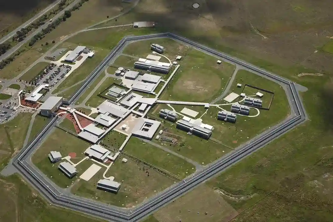
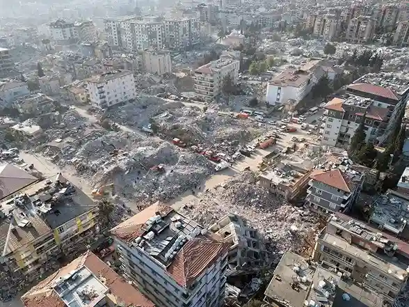
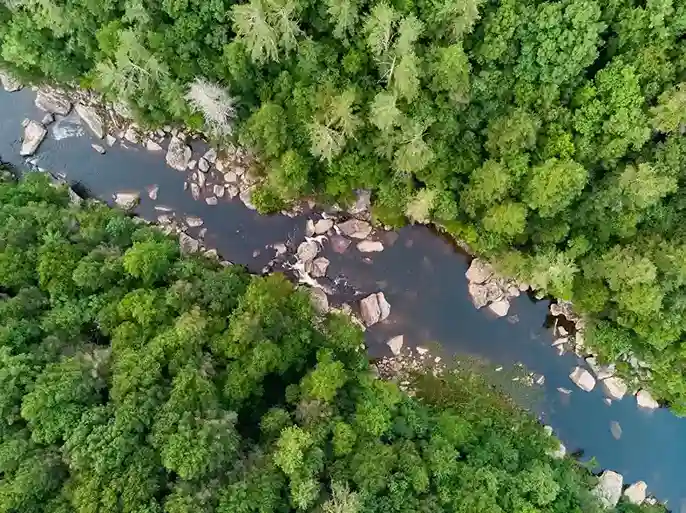
Aerial image annotation is the process of labeling objects, regions, and conditions in drone and aerial imagery so machine learning models can learn to detect them. Common labels include buildings, vehicles, solar panels, crop fields, and structural damage.
Video annotation requires each object to keep the same identity across frames. Our teams track objects frame by frame and review continuity before delivery.
We accept JPEG, PNG, MP4, MKV, PCD, BIN, LAS, and LAZ. We deliver JSON, XML, YOLO, PASCAL-VOC, COCO, PNG masks, and TXT.
Yes. We work inside your proprietary tool or on all the leading platforms.
Every project follows a four-stage process of production, internal quality check, sampling and audits, and corrective action. Our benchmark is 97%+ quality, tracked daily.
We begin with a risk-free pilot on your data. After approval, a trained team is deployed within 24 hours.
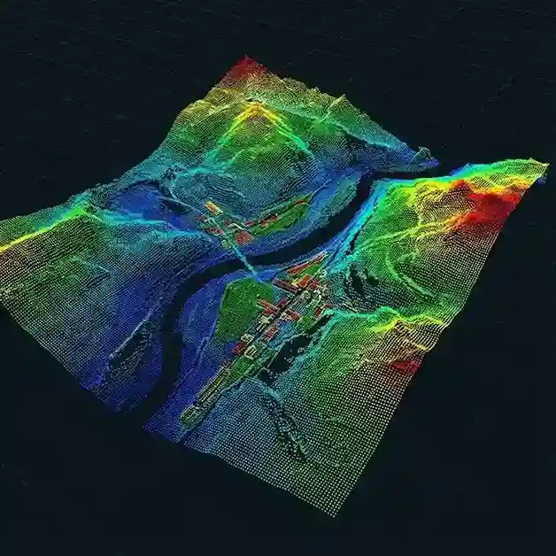
Yes. We label LiDAR and elevation data and annotate across combined sensor inputs, aligned with telemetry and GPS data.
We audit, correct and validate auto-annotated aerial data against your guidelines before it reaches your training pipeline.
Whether you need precisely annotated training data, real-world data collection, a dedicated in-house team, or other staffing solutions, Qualitas Global delivers all three under one roof. Backed by over a decade of experience, we back every engagement with a risk-free 2-day pilot before you commit.