Geospatial and Remote Sensing Annotation
Land Cover and Land Use Classification
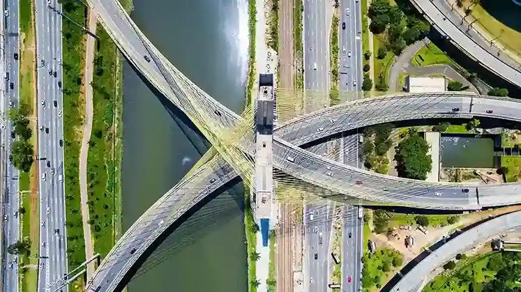
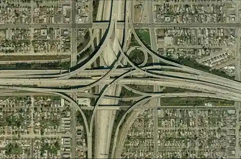
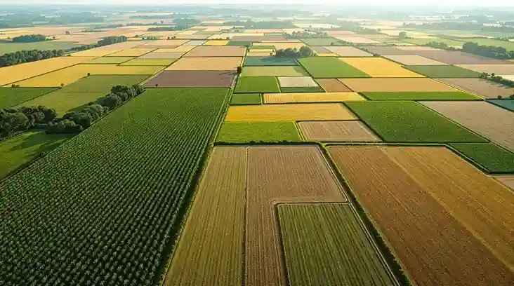
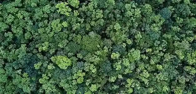
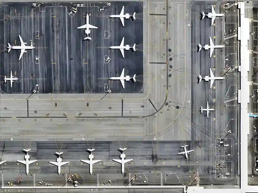
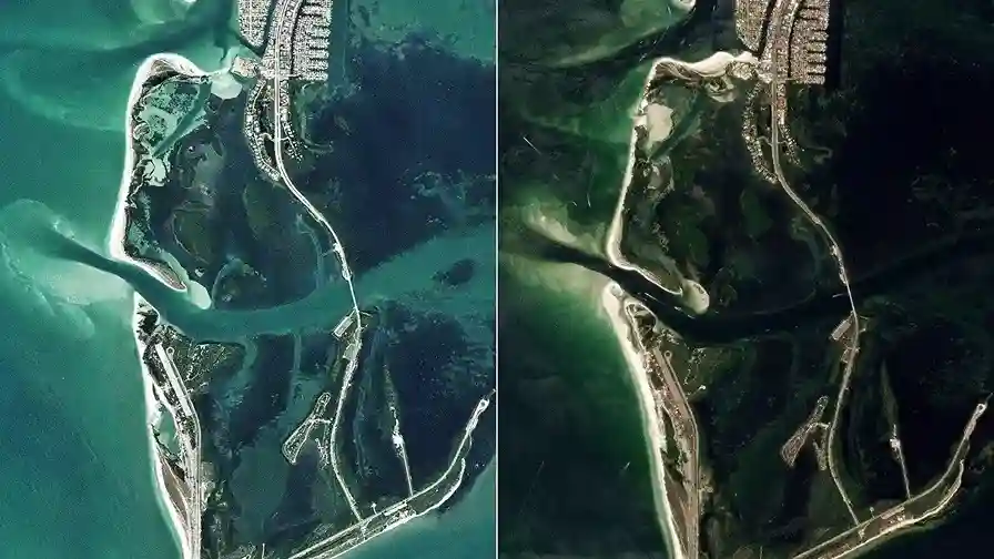
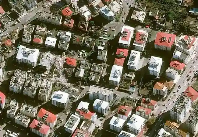
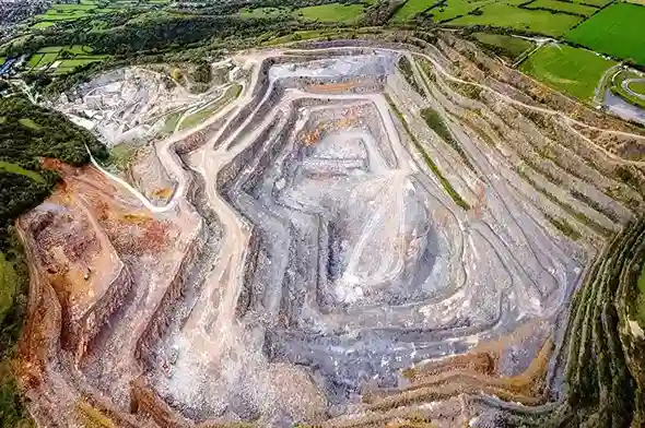
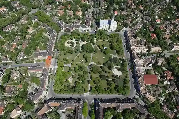
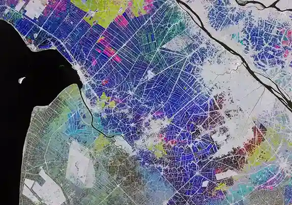
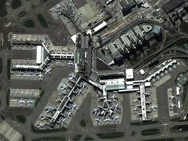
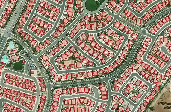
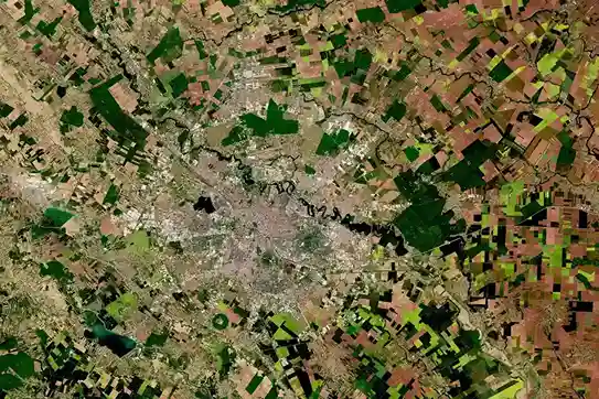
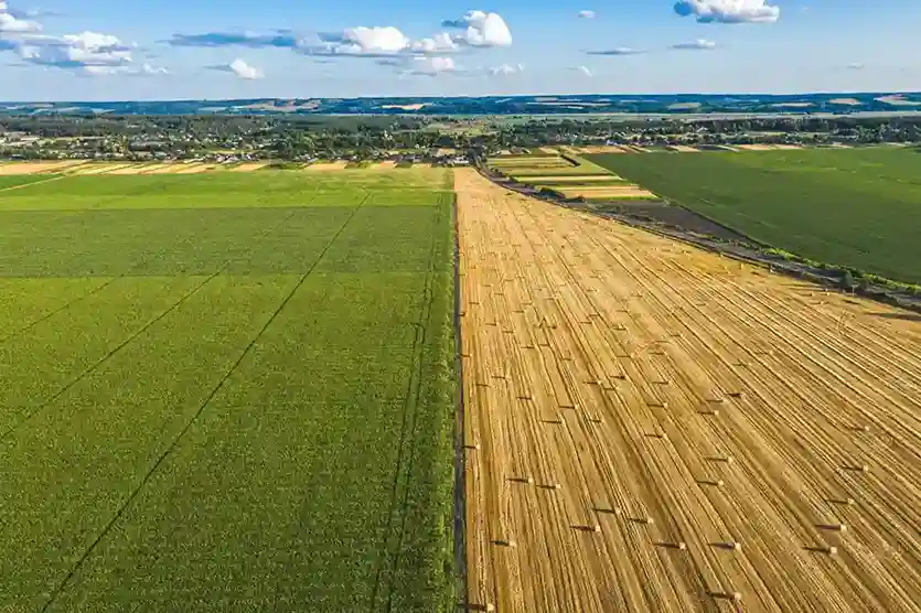
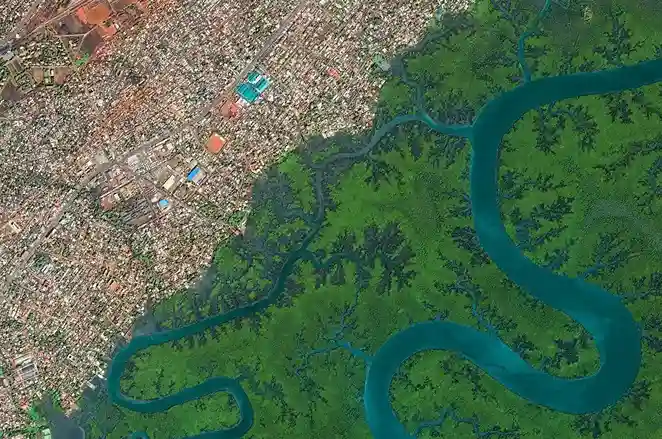
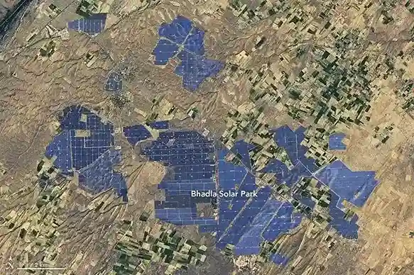
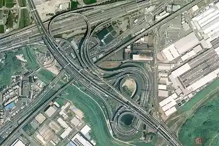
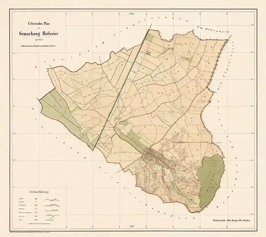
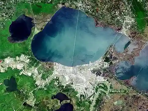
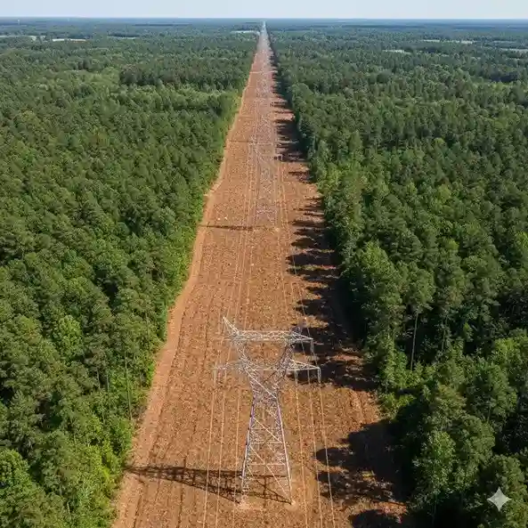
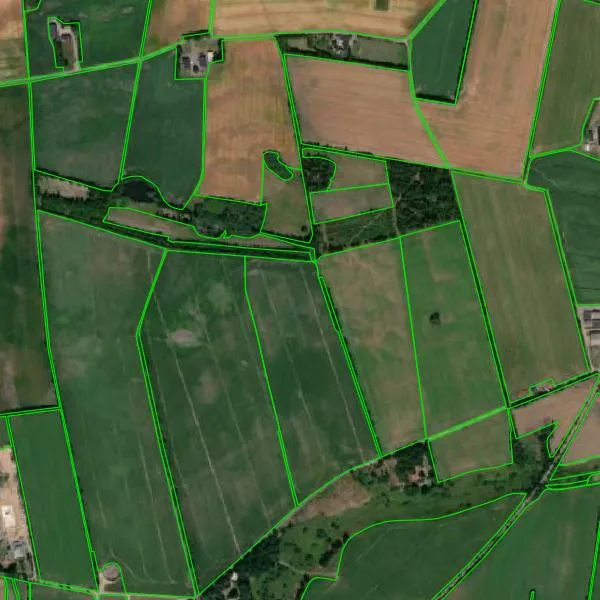
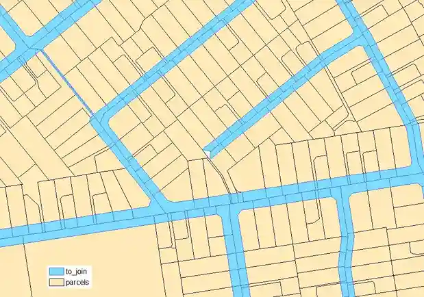
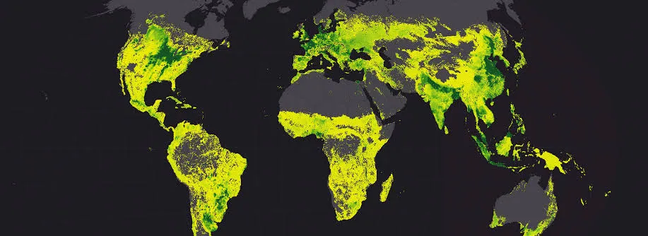
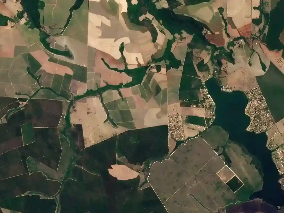
We classify pixels and polygons into land cover classes such as water, forest, cropland, built-up area, and bare ground, and separate land use categories such as residential, industrial, and agricultural, following your class hierarchy and minimum mapping unit.